From Satellites to Strategy: Tracking Geopolitics in the West Asia War
| DATE | August 27, 2026 |
From Satellites to Strategy: Tracking Geopolitics in the West Asia War
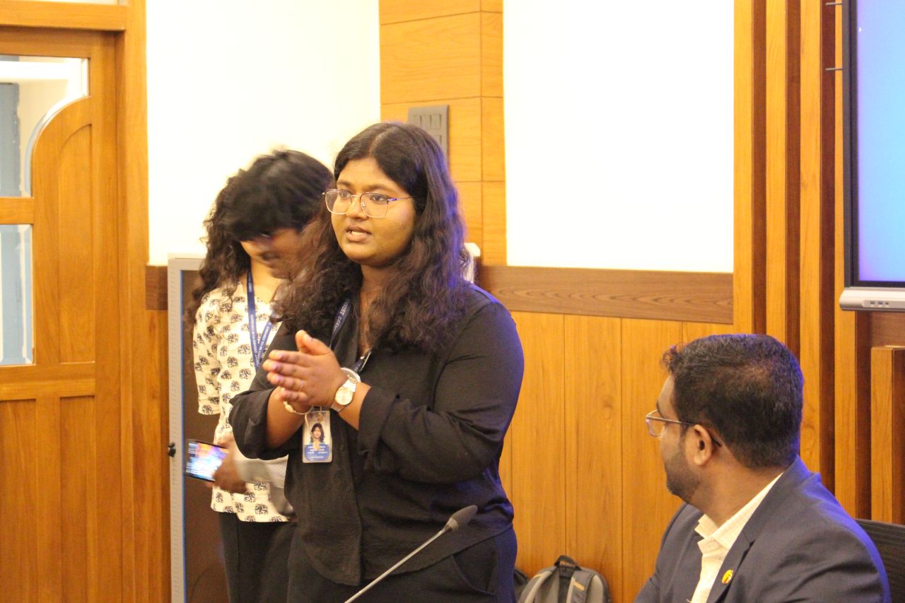
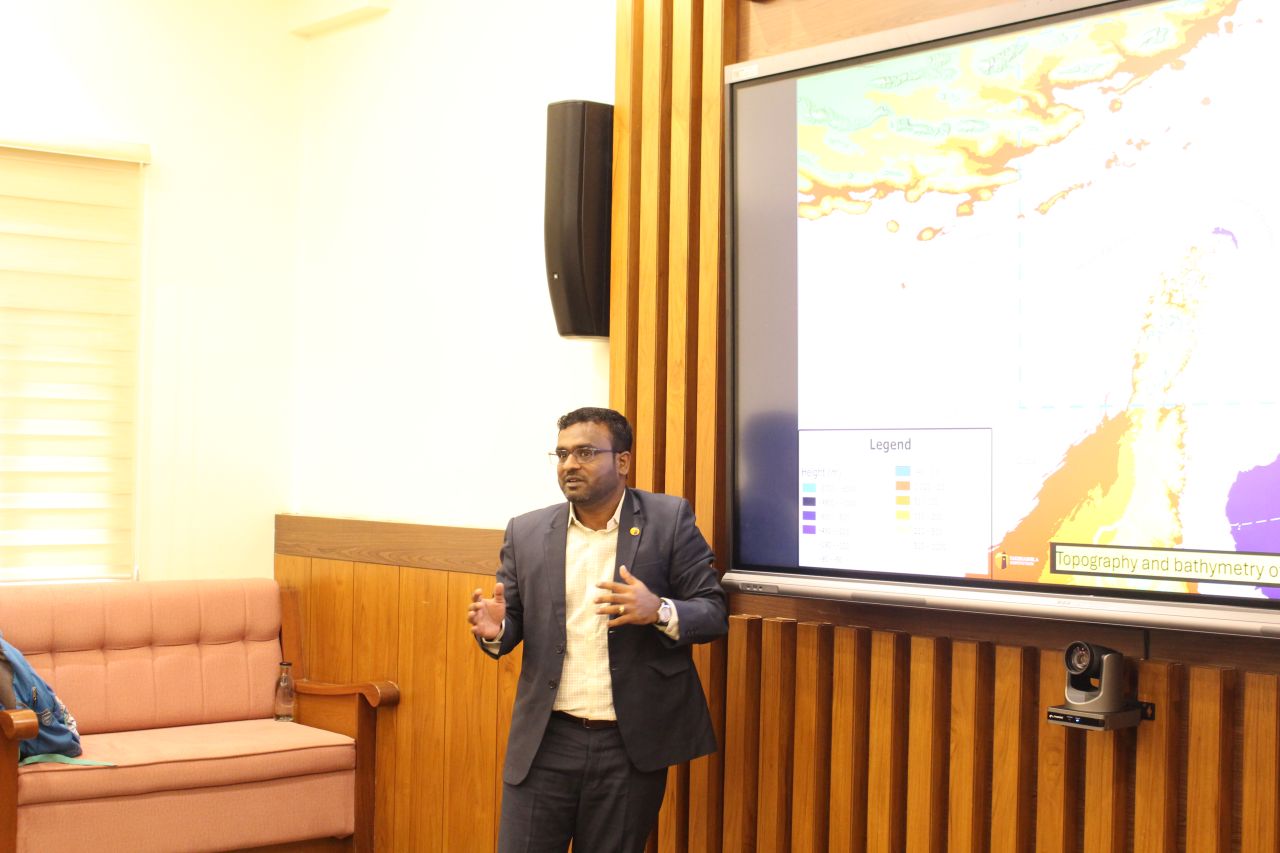
The Takshashila Institution held an engaging session with students from the Department of Professional Studies at CHRIST (Deemed to be University), Bangalore, on tracking developments in the West Asia War through satellite data, open-source information, geospatial analysis and AI-assisted monitoring.
The session brought together discussions on how geospatial and open-source intelligence can be used to follow developments in an ongoing conflict and understand their wider implications. Students engaged with the methods used to monitor events continuously, with the discussion also drawing on the evolving West Asia War: India Risk Dashboard, which tracks the conflict and its implications for India.
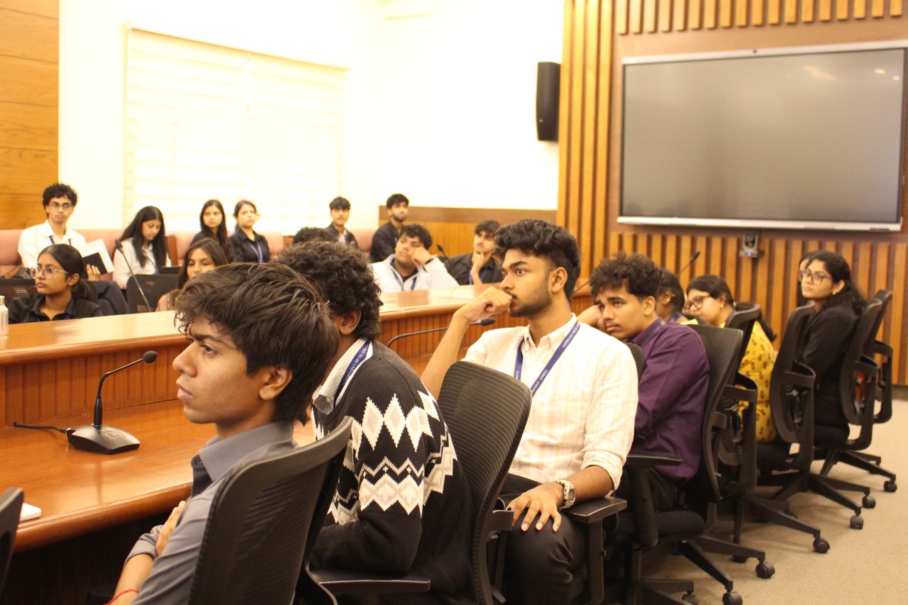
The interaction also explored how satellite imagery, open-source information and AI-assisted approaches can complement traditional methods of geopolitical analysis. The questions and perspectives from students, including those with connections to the Gulf region, added another dimension to the discussion and highlighted the value of bringing geospatial and geopolitical analysis together.
The session also provided an opportunity to introduce students to the India Geoportal Catalogue, along with Takshashila’s courses and internship opportunities for those interested in pursuing work and research in geospatial technology, geopolitics and related fields.
The session concluded with a discussion on the changing role of technology in geopolitical research and the opportunities for students to engage with geospatial intelligence, open-source analysis and AI-assisted research.