Geospatial Research
Geospatial Research at Takshashila applies the principles of mapping and spatial analysis to understand real-world problems.
What We Do?
The geospatial analysis and research sector has emerged as a transformative force in various industries. Utilizing cutting-edge technologies such as GIS (Geographic Information Systems) and remote sensing, it enables professionals to study and interpret spatial data to make informed decisions. From urban planning and environmental management to disaster response and market analysis, geospatial analysis plays a crucial role. Continuous advancements in satellite imagery, artificial intelligence, and data analytics have further accelerated the sector’s growth, especially for open-source intelligence.
Latest Analysis
Blogs
The Growing Glare Problem on Our Roads
How Can We Reduce High-Beam Misuse and LED Dazzle?
The Venezuelan Upheveal
The Spatial Logic of Drug Seizures in India’s North Eastern Borderlands
What AIS data reveals about Foreign Fishing in the Indian EEZ
Why Curriculum Matters More Than Degree Titles
In the News
The most recent posts we have published:
Interested in understanding the intersection of defense and foreign affairs??
Designed for full-time professionals, the GCPP offers a seamless mostly online learning experience. The programme spans 12 weeks and includes weekly webinars (usually on Saturdays). The highlights of the programme include an online Academic Conference and an interactive in-person workshop.

Subscribe to Our Podcasts
Latest Videos

Dr. Nithiyanandam on The New Indian Express | India - China talking peace, but preparing for war?
Learn more
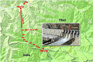
Dr. Nithiyanandam on The Indian Express | Explained: What Will be The Impact of China's Yarlung Tsangpo Dam Project
Learn more

