Roundtable | Open Source Community Gathering: Building Geospatial Capacity for Assam
| DATE | August 19, 2026 |
| CATEGORIES | Geospatial Technology Geospatial Policy Capacity Building Artificial Intelligence |
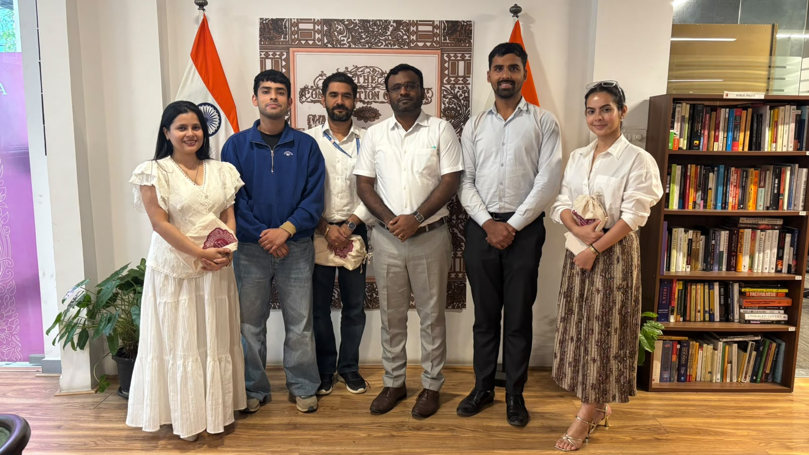
An Open Source Community Gathering on “Building Geospatial Capacity for Assam”
Team: Dr. Y. Nithiyanandam, Gopal Tomar
From August 19–21, 2026, the Takshashila Institution hosted a three-day exposure visit and roundtable with a team from the Government of Assam as part of its ongoing capacity-building engagement with the state. The Open Source Community Gathering brought together discussions on geospatial technologies, policy applications, institutional capacity, digital learning, and emerging applications of AI in governance.
The discussions explored the role of remote sensing, Geographic Information Systems (GIS), cloud-based geospatial technologies, and open-source geospatial tools in governance, with particular attention to Assam’s priorities, including flood management, land governance, border management, migration, and forest management.
The visiting officials also worked through Takshashila’s State Geospatial Policy Toolkit to assess institutional, data, human-capacity, and legal readiness. The discussions examined how a state-level geospatial policy could align with national priorities while addressing Assam’s specific institutional and operational requirements.
The gathering also examined approaches to building sustainable geospatial capacity through training programmes, digital learning platforms, professional networks, and hybrid learning models. Discussions covered the development and delivery of geospatial courses, capacity-building platforms, and approaches to strengthening geospatial expertise within government institutions.
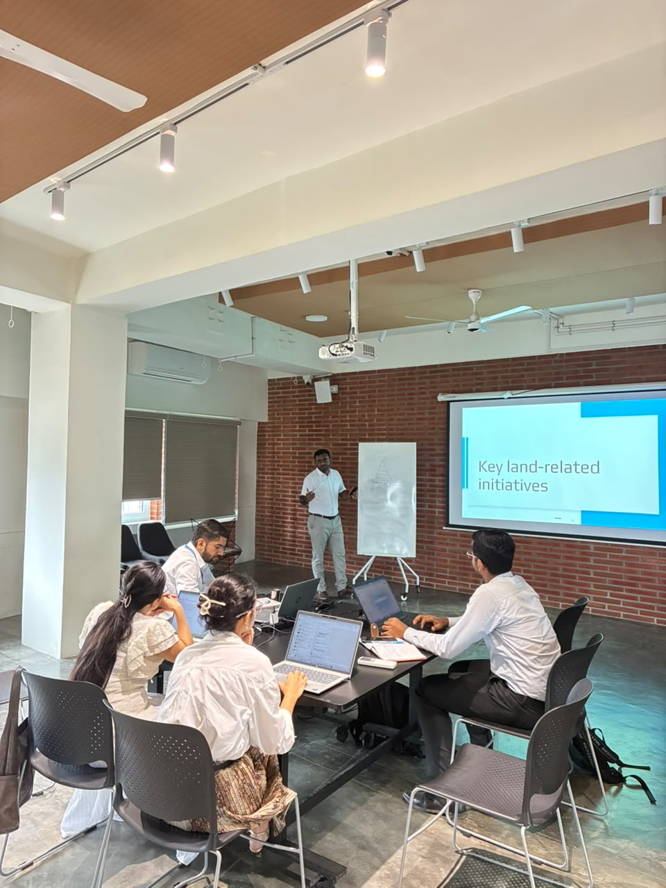
The discussion further explored the use of AI-powered tools and interactive dashboards for research, public policy, knowledge dissemination, and governance. Participants discussed how emerging technologies could support data-driven decision-making and improve the accessibility and use of geospatial information across government.
The visit concluded with discussions on strengthening geospatial capacity across the Northeast, refining Assam’s geospatial policy, developing digital training infrastructure, and exploring technology-driven and open-source approaches to public policy and governance.
The engagement highlighted the importance of combining technology, institutional capacity, policy frameworks, and human expertise to build sustainable geospatial capabilities within government.