Introduction to Geospatial Science and Technology
Introduction to Geospatial Science and Technology
Geospatial technology is developing rapidly worldwide, with a growing footprint in India. “Introduction to Geospatial Science and Technology” introduces the science, concepts, and real-world applications behind the field, for newcomers and aspiring professionals from any discipline. Drawing on researchers across multiple sub-domains, the course builds a working understanding of geospatial science and its applications to interdisciplinary problems.
ECC GEOSPATIAL COHORT 3
| FORMAT | 4 weeks · online |
| CADENCE | Saturdays · two 90 min webinars · ~6 hrs/week |
| EARLY BIRD | 24 June 2026 · ₹10,000 fee |
| APPLY BY | 1 July 2026 |
| PROGRAMME BEGINS BY | 4 July 2026 |
| FEE | ₹12,000 + 18% GST |
How it works
Eight modules
Covering surveying and navigation, geospatial technology, cartography, geodesy, remote sensing, geospatial policy, geospatial intelligence, and open-source tools.
Live Saturday webinars
Two 90-minute sessions every Saturday with academic faculty and practitioners.
Four weeks
A compact format from 4 to 25 July 2026, designed for working professionals.
~6 hours per week
Including live webinars, live discussions, readings, and preparation. No prior technical background required.
Hands-on with open tools
A practical introduction to creating and analysing spatial data using open-source geospatial software.
Citation of completion
A citation from the Takshashila Institution for participants who meet the evaluation criteria.
Curriculum
Geospatial Technology: Evolution, Advancements, and Strategic Importance
Explore the evolution of geospatial technology, focusing on key milestones and the core tools driving its innovations.
Understand the growing importance of geospatial technology in policymaking, defence, and urban planning and its strategic applications across industries
Surveying and Navigation: Foundations, Techniques, and Modern Applications
Grasp the core principles of surveying and navigation, along with the modern methods and tools used in geospatial analysis.
Explore the practical applications of surveying and navigation systems in mapping, exploration, transportation, and other industries in India through real-world examples.
Cartography: The Art and Science of Map Making
Dive into cartographic design's history, principles and techniques, exploring maps' evolution from traditional to digital formats.
Understand how to interpret and create maps for various applications while analysing the critical role of cartography in geography, navigation, and spatial analysis.
Geodesy: Measuring the Earth for Precision Mapping and Analysis
Learn the core principles and techniques of geodesy for accurately measuring Earth's shape, size, and positioning.
Explore the role of geodesy in satellite navigation and global systems, applying these methods to real-world challenges in mapping, surveying, and Earth observation.
Digital Image Processing and Advanced Remote Sensing: Techniques and Applications
Dive into the fundamentals of digital image processing for geospatial data analysis.
Provides an overview of advanced remote sensing tools for Earth observation and mapping and learn techniques to enhance and interpret satellite and aerial imagery.
The session will highlight how these technologies can be applied to real-world environmental monitoring, urban planning, and resource management challenges.
Geospatial Policy: Shaping the Future of Mapping and Spatial Data Governance
Explores the key principles of geospatial policymaking and its influence on data sharing at both national and international levels.
Understand the role of geospatial policies in critical sectors in India like defence, urban planning, and environmental management.
Geospatial Intelligence: Leveraging Spatial Data for Strategic Decision-Making
Gain insights into the fundamentals of geospatial intelligence (GEOINT) and its applications in security and business.
Learn how to integrate GEOINT into real-world scenarios, focusing on business development, national security, disaster management, and global surveillance.
Introduction to Open-Source Geospatial Tools: A Hands-On Experience
Explore the essentials of open-source geospatial tools in this module. Gain basic hands-on experience in creating, visualising, and analysing spatial data tailored for beginners.
This session offers a practical introduction to foundational geospatial techniques, perfect for anyone looking to start.
Application process
and fees
Eligibility
Open to applicants with an undergraduate degree in any discipline; final-year students are welcome. A Statement of Purpose is required as part of the application. No prior knowledge of geospatial science or technology is necessary.
Application
The Academic Committee reviews the application form and Statement of Purpose. Please take time to reflect on why you want to take this course and how you plan to apply the learning — the Committee gives this significant weight. Applications close on 1 July 2026.
Early bird & scholarships
An early-bird fee of ₹10,000 + GST is available for applications submitted by 24 June 2026. A concessional fee of ₹10,000 + GST also applies for university students, Takshashila alumni, and serving members of the Indian armed forces. Proof of eligibility must be submitted with the application.
Questions
Have questions about eligibility, schedule, or fees? Write to us at geospatial@takshashila.org.in
July 2026 Calendar
Four weeks of Saturday webinars. Early-bird fee until 24 June; applications close 1 July.
APPLY NOW →Faculty

Dr Y Nithiyanandam
Professor and the Head of Takshashila's Geospatial Programme
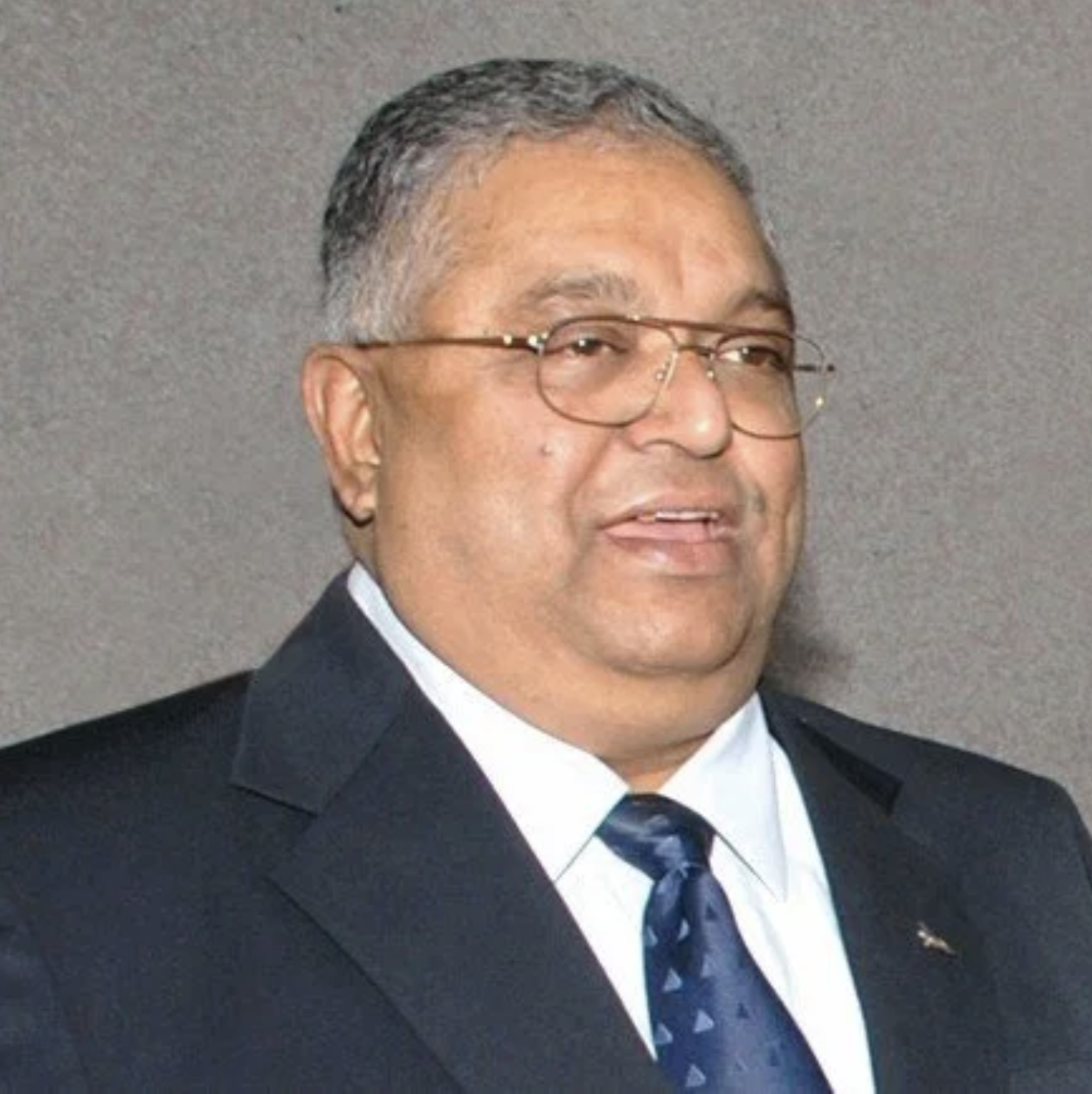
Maj Gen (Dr) Siva Kumar Rachapudi (Retd)
Engineer, soldier, surveyor, and scientist

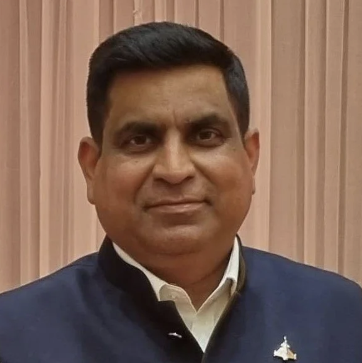
Cdre (Dr) Arun Pratap Golaya (Retd)
Seasoned naval officer

Dr Vishnu Chandra
Former Deputy Director General & HOG, National Informatics Centre
Wg Cdr Satyam Kushwaha (Retd)
Military officer and entrepreneur